Gallery
Precision Drone Technology
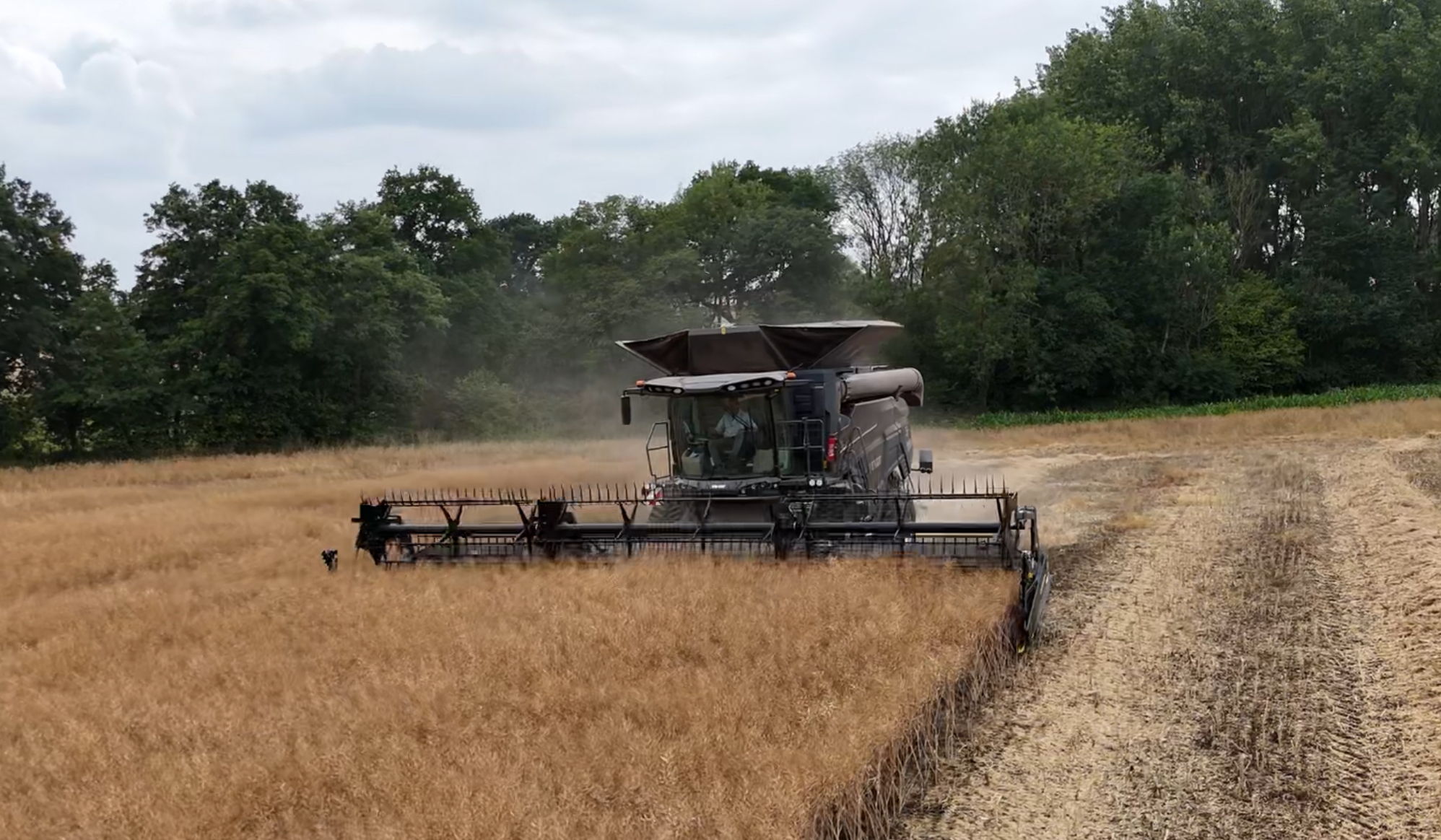
Combining Rape
Forestry Canopy Mapping
Construction Site Progress
Potato Field Orthomosaic
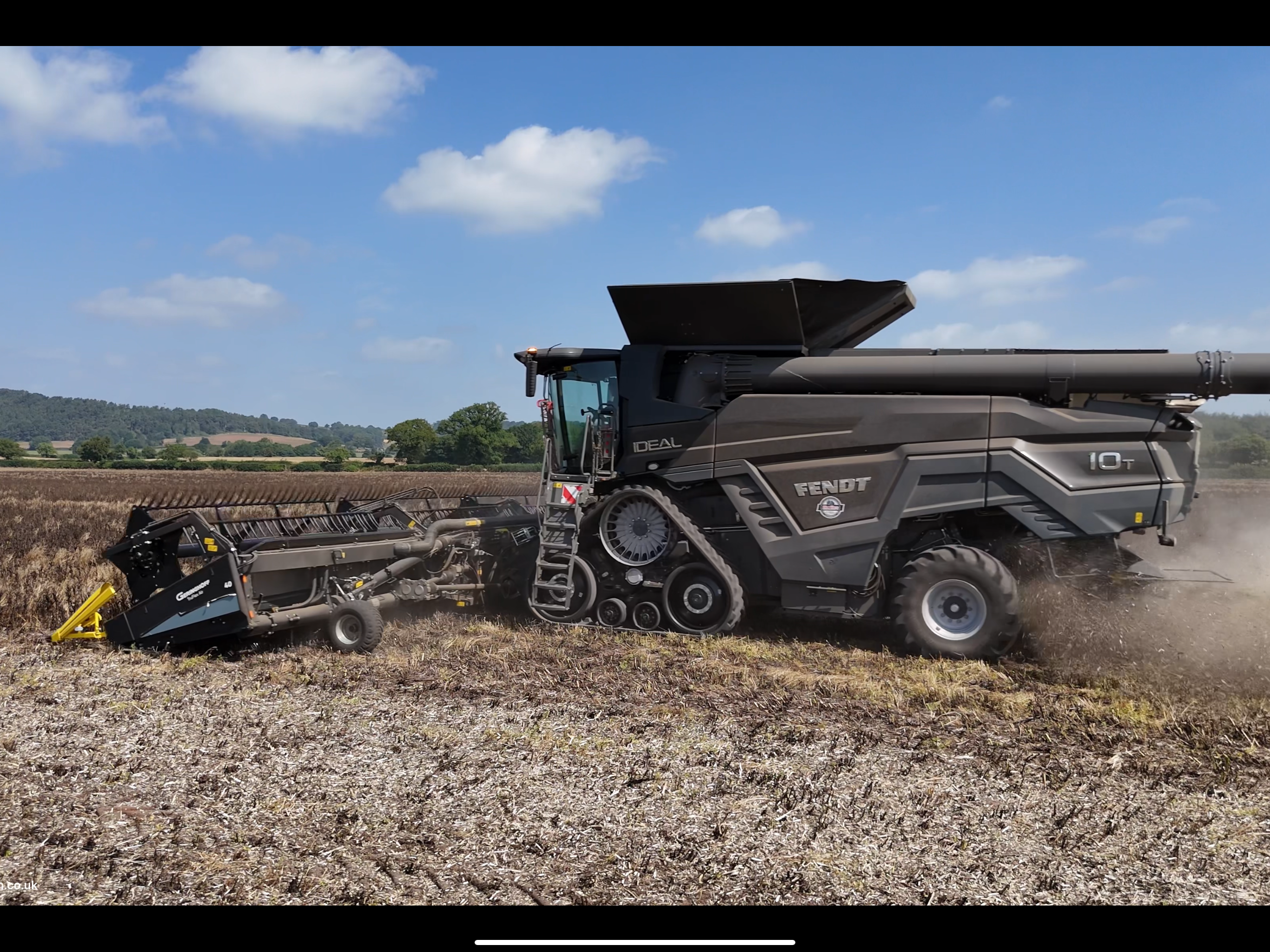
Harvesting Beans
2D orthomosaic maps · Geo-referenced field imagery · 3D terrain & stockpile analysis · SFI-compliant field mapping · Construction progress tracking · 4K aerial cinematography
"Call or message us today — whether it’s a simple roof check or a full‑field orthomosaic map, we’re here to help!"
Detailed aerial surveys of your farmland or woodland using drone technology to accurately map field boundaries, forestry compartments, and crop changes.
Helping farmers and landowners plan better and stay SFI-compliant.
High-resolution aerial photos and site reports for construction or development sites. Ideal for builders, developers, or estate owners.
Clear aerial evidence to keep your build on track.
Full-field stitched maps and 3D terrain from hundreds of drone photos – great for measuring areas, checking crop condition, and inspections.
Turning field-level imagery into practical decisions.
Precision Drone Technology
Combining Rape
Forestry Canopy Mapping
Construction Site Progress
Potato Field Orthomosaic
Harvesting Beans
29th June 2025 - Apley, Telford
Main crop potato field progress report 2D orthomosaic map.
21st May 2025 – Bridgnorth WV16 4QR
2D Orthomosaic map of the Livestock centre Bridgnorth.
2025 – Charlton Gardens Estate map
Countryside properties / Pickstock homes residential development in Apley, Telford.
"Drone mapping technology is revolutionizing modern agriculture. These aerial systems provide unprecedented insights into field conditions and resource management—enabling precision farming application practices that can boost yields and reduce costs and environmental impact.Drone mapping boosts productivity, supports SFI compliance, and improves resource management"
Modern Farming Today
Agricultural Technology Special Issue, 2025
Professional UAV mapping and surveying in the UK using the latest drone technology for agriculture engineering and construction.
© 2025 All rights reserved.
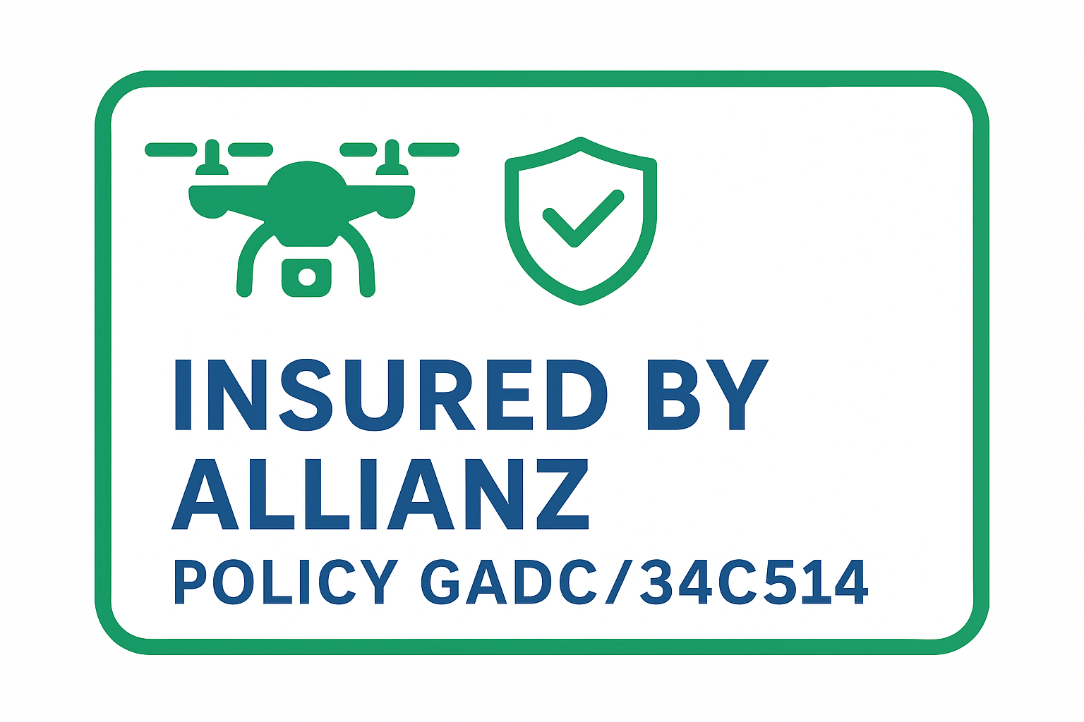
Fully CAA‑approved and certified – ensuring we meet the highest standards for safe and compliant drone operations under UK Open‑Category regulations (A2 CofC).